![]()
![]()
![]()
![]()
![]()
|
|
|
|
|
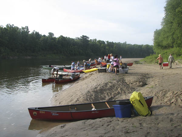
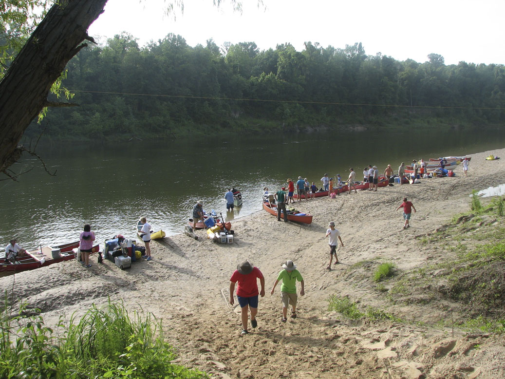
All of the trips down the Sabine will take all day, or longer, so you should plan on an early start. Due to the width of the river you should prepare for little shade, and possibly windy conditions. There are few hazards, though there may be a class 1-2 rapid, downed trees or stumps depending on the section you choose to paddle. There are few access points along the river, and due to this extreme isolation there is a minimum of two canoes for these trips. The land along the river is mostly privately owned, so should you venture outside of the river banks you must have permission from the property owner. There are abundant and beautiful white sand bars for camping, however, be aware that the river will rise rapidly during power generation so check the high water marks before making camp.
Tack-A-Paw has divided the river into sections:
(Click on the section titles to view a map of that section..)
Horseshoe Trail - Put in at the spillway canal on the old Sabine River, and take out at the generator canal on the Texas side at Toledo Bend Dam. This trip is approximately 5 miles and has a constant water flow of 144 CFS from Toledo Bend Reservoir. Runable year around, trips are scheduled around dam release times. You should allow at least 4 hours to complete this trail. There is one rapid in this stretch, a class I (Little Tricky), at the confluence on the spillway canal & Toro Bayou. Just as you turn into the bayou, stay to river left and keep your boat straight through the rapid. CAUTION: Be sure you are to the take out before the generators are scheduled to turn on. Allow about 45 minutes to paddle up the canal. The shuttle fee is determined when the trip is reserved.
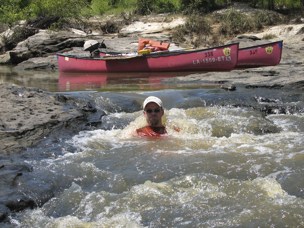
YoYo Trail -Put in at the boat ramp on the spillway canal, paddle down to the confulence of the Sabine River & the generator canal, then paddle back to the put-in. This trip is planned to catch the power generation flow on the return trip, and is approximately 7 miles. There is one rapid in this stretch, a class I (Little Tricky), at the confluence on the spillway canal & Toro Bayou. Just as you turn into the bayou, stay to river left and keep your boat straight through the rapid. On the trip down, there will be several sand bars. Coming back, due to the water level, there will be no sandbars or rapids. CAUTION: It is important on the Yo-Yo trip that you do not paddle past the confluence of the Sabine River & the generator canal! When the generators are turned on, there is a class III rapid and recirculating eddy formed at that point (Ghost Rapid) that is too much for an open canoe. The shuttle fee is determined when the trip is reserved.
Drag-Over Trail - Put in at the spillway canal boat ramp on the Louisiana side, and paddle down around the island as many times as you like before paddling back to the put in. This is the shortest trail Tack-A-Paw has to offer. One time down & back is only 2 miles, and will only take approx 1 1/2 hours. There is one rapid in this stretch, a class I (Little Tricky), at the confluence on the spillway canal & Toro Bayou. Just as you turn into the bayou, stay to river left and keep your boat straight through the rapid.
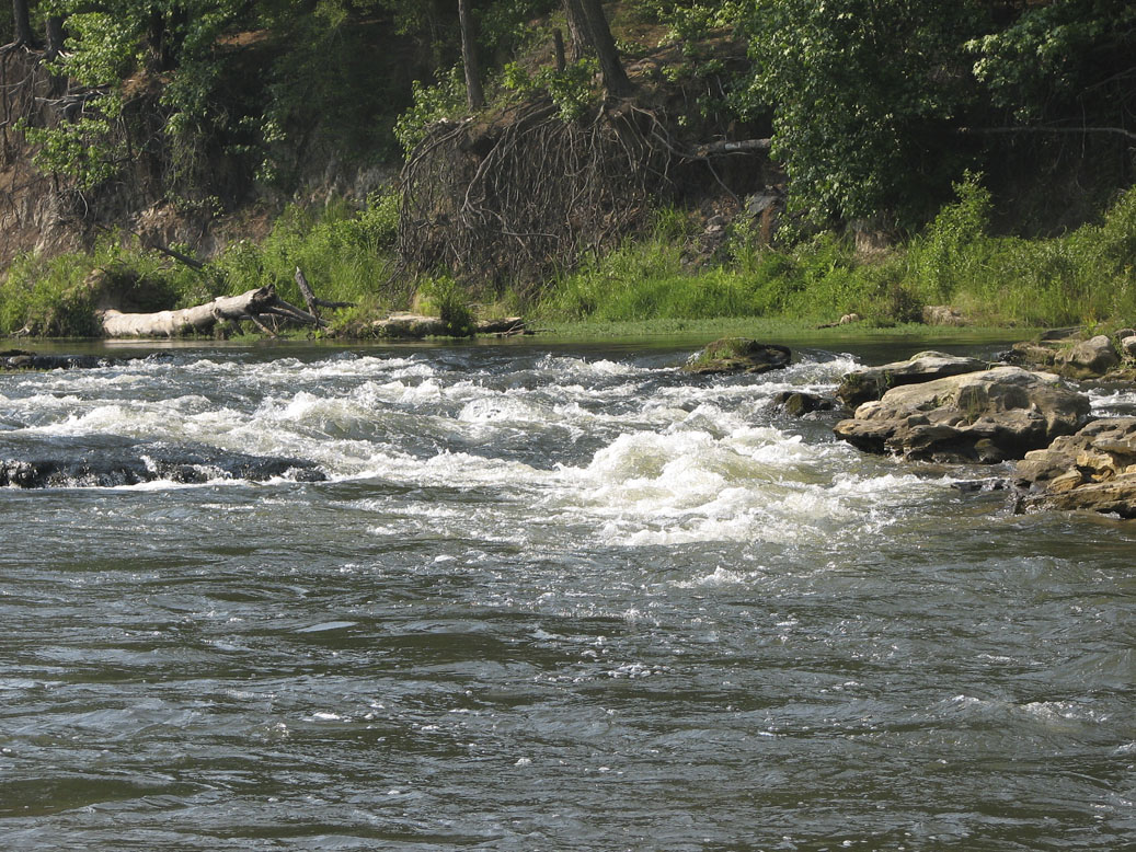
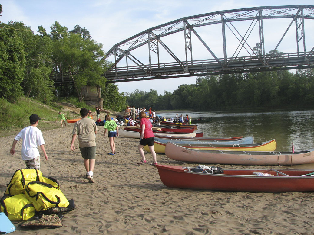
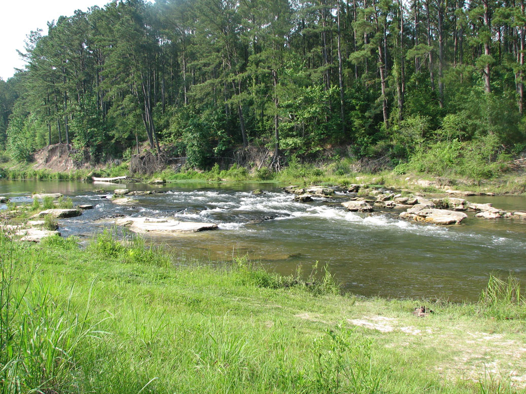
Section 1 - Put in at the generator canal, and take out at the bridge at LA Hwy 8 (TX Hwy 63 ) for an approx 10 mile trip. Paddle time will be approximately 5 - 7 hours. This is the most popular stretch with the best fishing for bass, striper, white perch & catfish. There are two rapids in this section. The first is at the confluence of the generator canal and the Sabine River. It is referred to as the 'Ghost Rapid' as it is only there for the first two hours after the generators are turned on. The rapid has Class III standing waves, and is not recommended for open canoes. The second rapid is at Sandy Creek, approximately 2 miles from the put-in. Formed by a rock shoal tapering all the way across the river, this rapid can be a class I or II, depending on water flow. When the water is low, it's pick & choose your path on river right. During the first 2 hours of power generation, it can be a class II. At high levels both rapids will be washed out. You can add approx 5 miles, another 2-3 hours, to your paddling by putting in at the spillway canal boat ramp on the Louisiana side. This is the most popular over night trip. This will add one additional rapid, a class I (Little Tricky), at the confluence on the spillway canal & Toro Bayou. Just as you turn into the bayou, stay to river left and keep your boat straight through the rapid. This Section is good paddling year around due to constant water flow of 144 CFS from Toledo Bend Reservoir. The shuttle fee is determined when the trip is reserved.
Section 2 - This is the longest stretch. It is mostly isolated and undeveloped. You should plan to spend two to three days on this section. There are numerous white sand bars offering primitive campsites. Put-in is at LA Hwy 8, and take-out is at Anacoco Bayou for a distance of approximately 28 miles. The shuttle fee is determined when the trip is reserved. This is the same section described in the event section for the Labor Day Weekend.
Section 3 - This is the last section serviced by TAP. It is much the same as the above section with numerous sand bars. The distance for this trip is approximately 11 miles from the put-in at Anacoco Creek to the take out at Hwy 190. The shuttle fee is determined when the trip is reserved.
View a summary of Sabine River Trips
Click on thumbnails to view larger image...
This Page edited: 9/4/12
All content copyright 2005 - 2023
Contact Webmaster to report problems with this page.
A SmartBuilt Website